Explore the outcomes of the annual land cover and use maps of the Gran Chaco Americano between 1985 and 2023 from Collection 5.0.
Annual data of 18 land cover and land use classes in Chaco between 1985 and 2023.
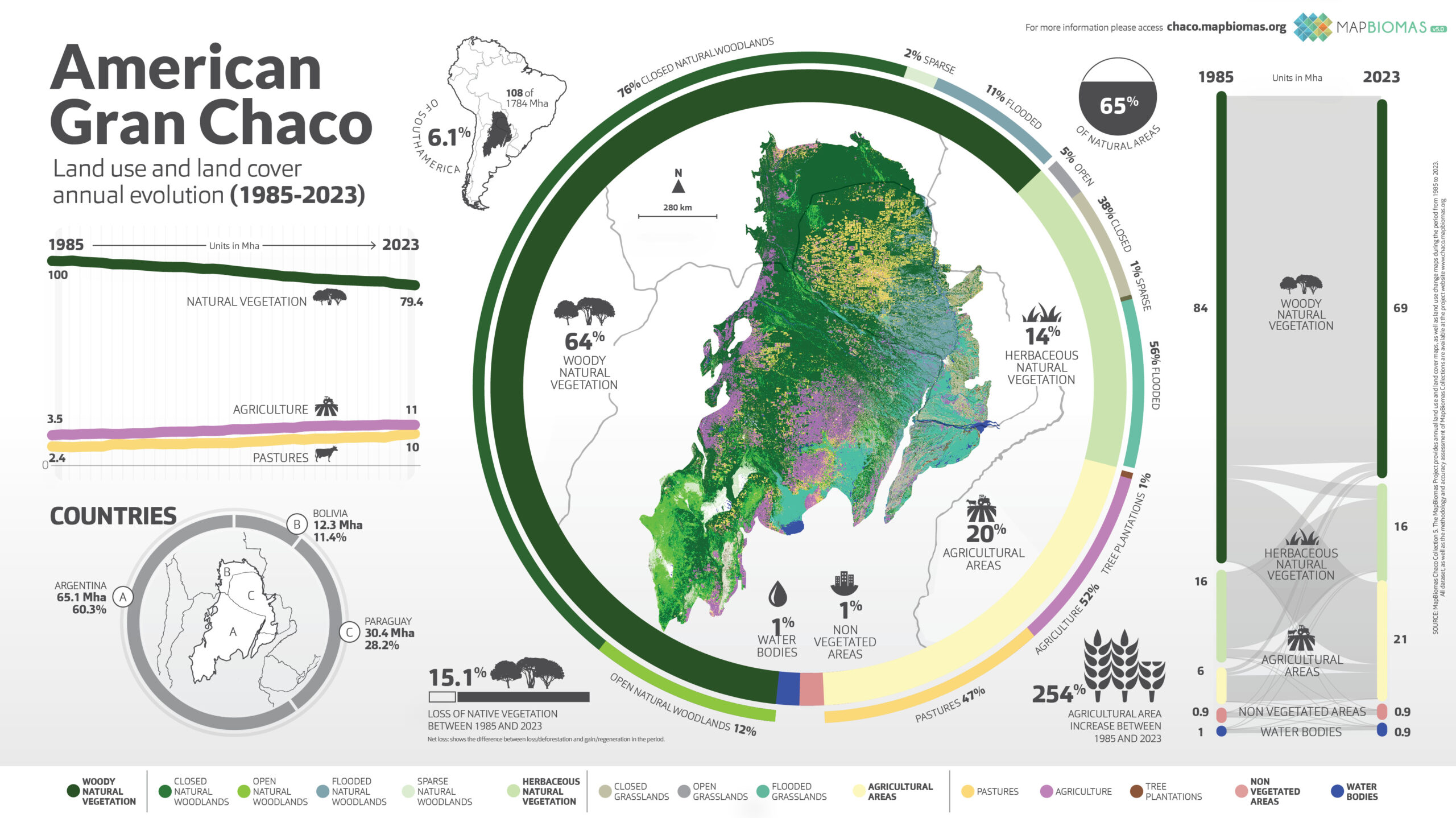
La pérdida de vegetación natural en los últimos 39 años fue del 15,1% según MapBiomas Chaco
Access the Platform
Land Use Changes
ACCESS THE STATISTICS
Quality
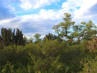
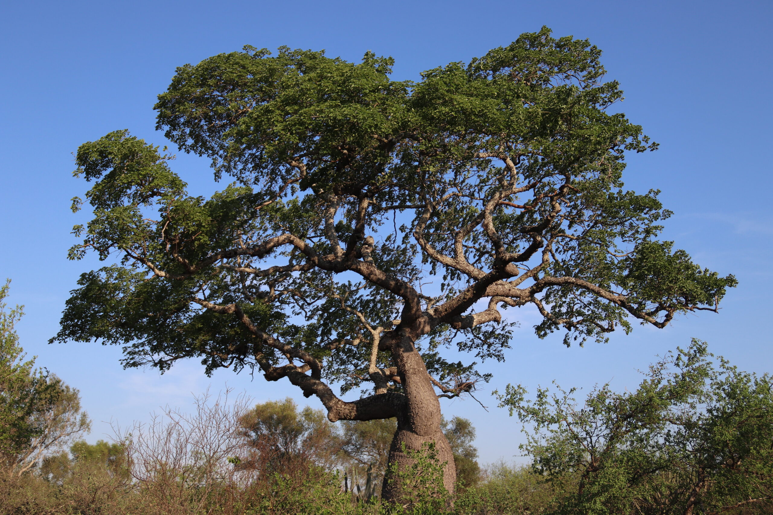
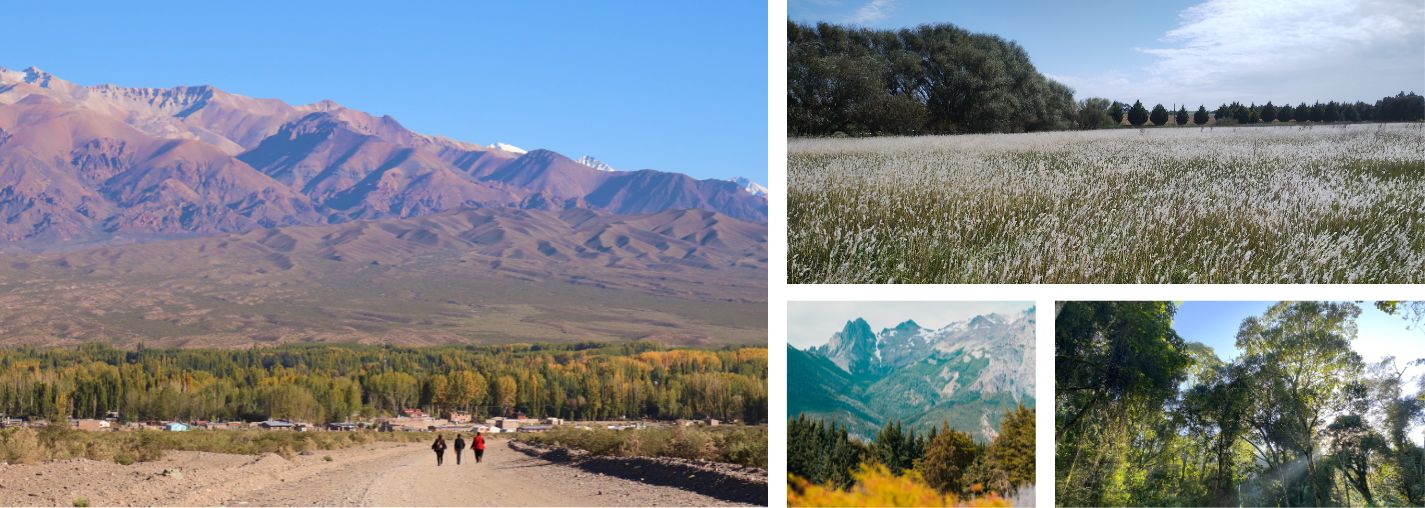
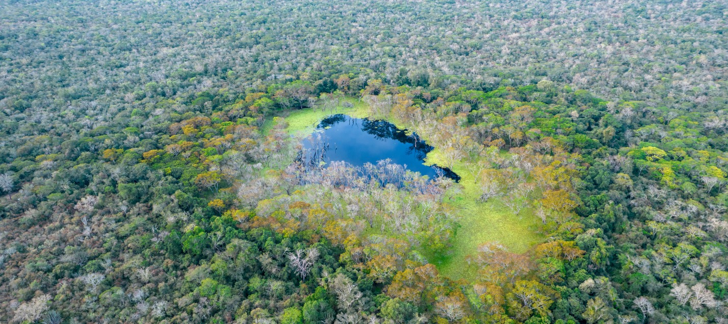
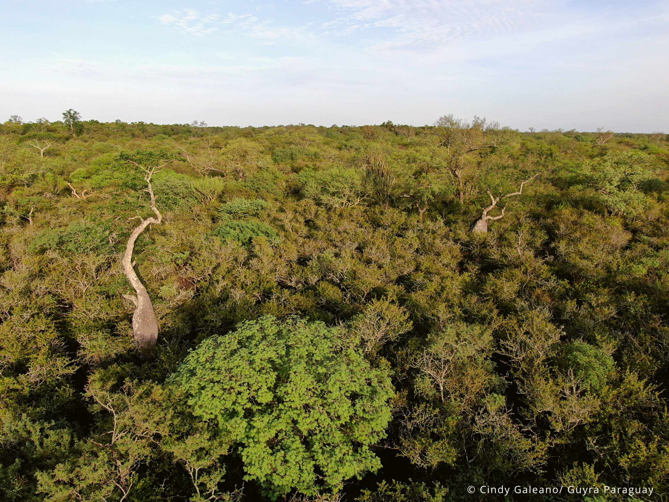
Chaco
Conozca la metodología de MapBiomas Chaco y cómo se organiza la red para generar los mapas y datos de cobertura y uso del suelo
Create custom maps
Join our forum
Access our FAQ
Data download